Garrett County: Maryland’s Last Frontier
Before Deep Creek Lake, before the ski slopes, and long before Route 219 ever cut through the hills — this rugged mountain region was one of the last parts of Maryland to be officially settled and defined.
Before Deep Creek Lake, before the ski slopes, and long before Route 219 ever cut through the hills — this rugged mountain region was one of the last parts of Maryland to be officially settled and defined.
Garrett County was created in 1872, carved out of the western portion of Allegany County, making it Maryland’s youngest county. It was named after John W. Garrett, the powerful president of the Baltimore & Ohio Railroad, whose expansion helped bring commerce and people into the region.
But the story goes back further.
In the 1700s, this land sat at the edge of colonial confusion. Maryland, Pennsylvania, and Virginia all claimed overlapping portions of the frontier. These disputes led to real clashes — most famously Cresap’s War (1730s), a violent border conflict between Maryland and Pennsylvania settlers.
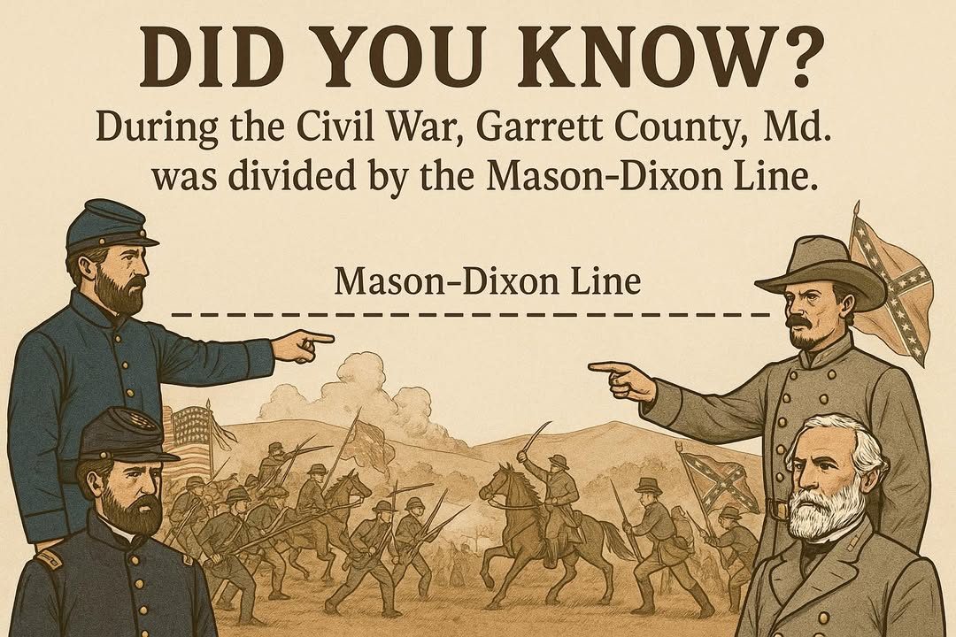
To end the chaos, English surveyors Charles Mason and Jeremiah Dixon were sent in the 1760s to officially mark the line dividing Maryland and Pennsylvania. The Mason–Dixon Line they established still forms Garrett County’s northern border today.
Along that line, you can still find the old Crownstones, carved with “M” and “P,” marking each mile of the boundary — silent witnesses to a time when America’s map was still being drawn.
When Garrett County finally became official in 1872, it represented the end of Maryland’s frontier era — a land of steep hills, deep forests, and resilient people who turned wilderness into home.
⸻
Did You Know?
- Garrett County is the highest point in Maryland, home to Backbone Mountain at 3,360 feet.
- The Youghiogheny River (from a Native American word meaning “stream flowing in a contrary direction”) flows north through the county — one of the few rivers in the U.S. that does.
- The area once known as “Yough Glades” was prized by early settlers for its fertile meadows surrounded by mountains.