Severe storms possible Friday, frost this weekend
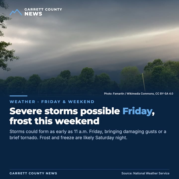
A strong cold front moves through Friday, and the National Weather Service office in Pittsburgh, which covers Garrett County, says showers and storms could form as early as 11 a.m. as they cross western Pennsylvania and northern West Virginia. The main window is roughly 11 a.m. to 3 p.m. Some storms could bring damaging wind gusts or a short-lived tornado. The NWS office in State College says the strongest storms could gust near 60 mph, enough to bring down trees and power lines.
In its 6 p.m. briefing Thursday, the State College office said the Level 2 of 5 "slight risk" area has expanded farther west, now taking in State College and Gettysburg and reaching to just east of Altoona. Somerset County remains in the lower Level 1 area. For areas northwest of the I-99 and I-80 corridor, storms are timed for about 10 a.m. to 3 p.m.
Potomac Edison says it is watching the storms and has crews standing by in case of outages. Customers can text REG to 544487 to get outage updates.
Behind the front, colder air arrives Friday night. Forecasters say the best chance of frost and sub-freezing temperatures is Saturday night, and that the risk is high along the ridges of Pennsylvania and West Virginia. Plan to protect outdoor animals and sensitive plants.
Sources: National Weather Service Pittsburgh; National Weather Service State College, shared by Somerset County Department of Emergency Services; Potomac Edison